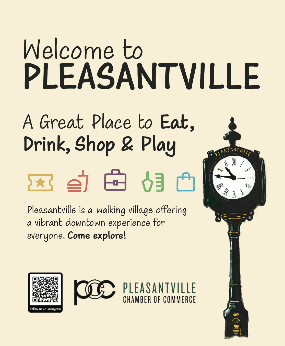
Pleasantville Downtown Map
A print-first wayfinding and business directory system for a downtown district — designed for instant orientation, without apps, downloads, or setup required.
Downtown discovery is a physical problem. The solution had to be physical too.
Pleasantville's downtown district has a walkable collection of independent businesses — restaurants, shops, services — spread across a compact area. The challenge was that visitors arriving in the area had no fast way to understand what existed, where things were, or how to move through the district.
Digital wayfinding tools — maps apps, Google searches — require intent before they're useful. They're great when you know what you're looking for. They're terrible for discovery, especially in physical environments where the goal is to prompt the question "what should we do next?"
A physical wayfinding system was the right solution — one that could be placed at the point of arrival and discovery, required no setup, and worked for visitors who had no prior knowledge of the area.
My role
Designer — information architecture, visual design, map layout, print production, and QR integration.
Medium
Folded print map with QR-linked directory. Designed for counter display, wall mounting, and hand distribution.
Primary constraint
Must work at a glance for someone who has never been to Pleasantville — no learning curve, no instructions required.
When discovery is fragmented, visitors leave without exploring.
Downtown Pleasantville had more to offer than most visitors found. The issue wasn't lack of options — it was the lack of a clear, low-friction way to surface them at the moment visitors were deciding where to go next.
People standing on the street with 30 minutes to spare don't reach for an app to discover what's around them. They look for something visible and immediate. The design had to be that something — placed where decisions happen, usable without setup or prior knowledge.
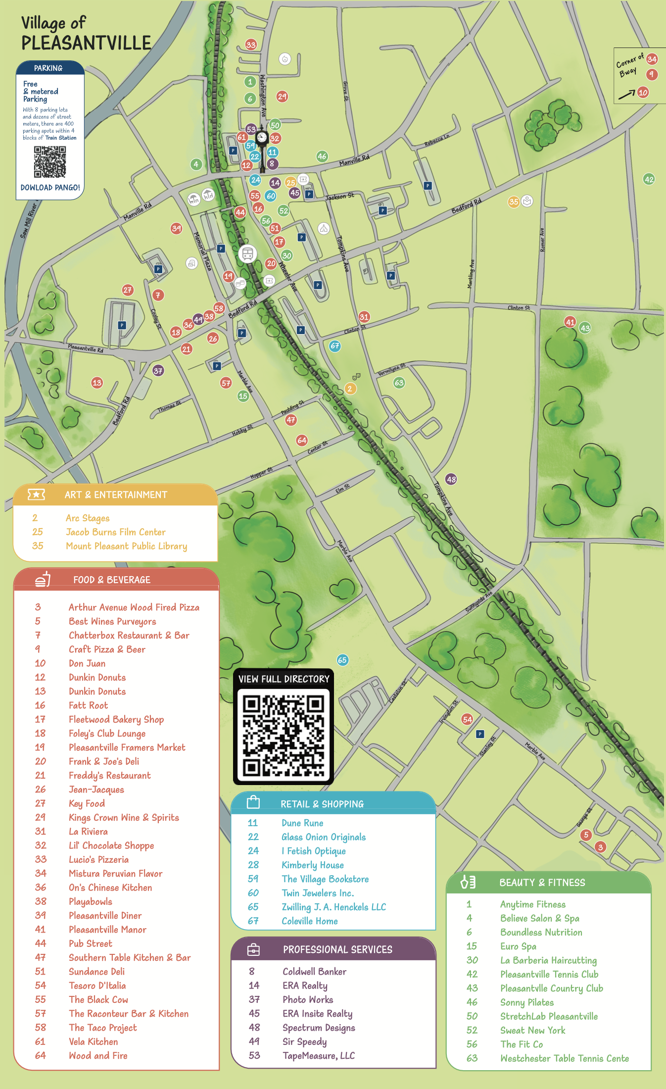
- Instant legibility — The map must communicate orientation within seconds. Users shouldn't have to orient themselves before they can use it.
- 70+ businesses, manageable density — The directory had to be comprehensive without becoming visually overwhelming. Categorization was essential.
- No app dependency — Any digital extension (business details, hours, updates) had to work via QR — one step, no registration.
- Physical durability — The format had to survive real-world use: counter display, wall mounting, handling. Print quality and folding mattered.
- Updatable over time — Businesses change. The design had to allow updates without requiring a complete reprint of the core map.
Three design decisions that made the system work
Print information design has harder constraints than digital — you can't add a filter, you can't paginate, you can't hover for more context. Every structural decision has to carry more weight.
- Numbered markers over icon clusters. Numbered pins on the map allow fast scanning without visual crowding. A visitor looking for location #14 can find it immediately — no decoding required. Icon-based systems create visual noise at this density.
- Color-coded categories for intent-driven navigation. Visitors aren't looking at "all businesses" — they're looking for food, or retail, or services. Color coding by category lets users filter visually before reading a single label. They can jump directly to what they're looking for.
- QR for depth, not for access. The map works completely without a phone. QR codes extend the system — linking to hours, menus, contact details — but they don't gate any core wayfinding function. This kept the print version fully self-sufficient while enabling updates without reprint.
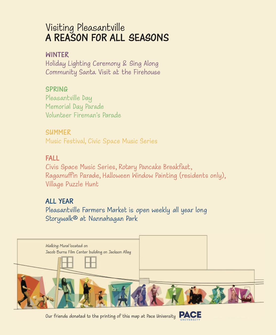
The map — folded and unfolded
What the work produced
A physical wayfinding system that works at the point of decision — distributed, durable, and legible without instruction.
Distributed across 70+ downtown businesses — available at the points where visitors are making discovery decisions: counters, storefronts, welcome areas.
Clear three-layer system: categories + numbering + QR — visitors can navigate by color (what type?), by number (where exactly?), and by QR (what details?) without any of those layers depending on the others.
Designed for real-world use — the format (folded, portable, physically durable) works equally well on a counter, on a wall, or in someone's hand. No dedicated display infrastructure required.
QR layer enables updates without reprints — business details, hours, and seasonal content can be updated digitally, extending the map's useful life without new production costs.